Andrew Molera Loop: Bluffs, Panorama & Ridge Trails
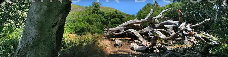
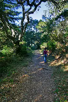
Though there are some small redwood and oak groves along the upper part of this route, this longish loop of trails is notable for spectacular coastal bluff views, and access to several remote beaches.
This is our favorite bluff walk above the shore, and also tops out with southern views into the populated Big Sur region.
Hike Facts:
• Length: 8.8 miles
• Type: Loop
• Difficulty: Good workout
• Path: Well groomed
• Elev. Gain: 1,100 feet
• Parking Fee: Yes
• Restrooms: Yes
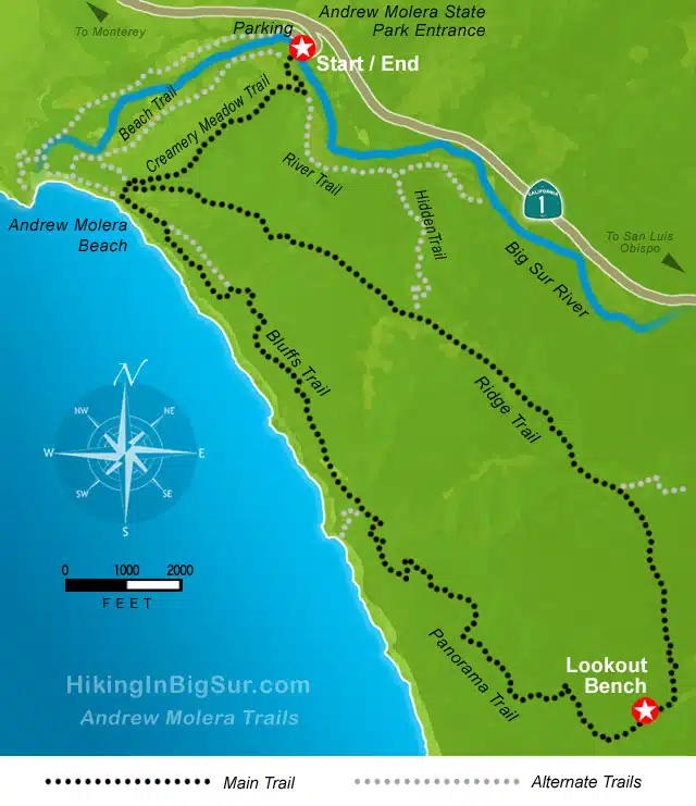
Andrew Molera Trails Map
When is the best time to hike in Andrew Molera State Park?
Big Sur is always in season, so is Andrew Molera State Park. Winter, however, is the only time where you can find fall colors here. So I’d personally say that it’s one of the best places to visit in USA in December. It’s a real treat.
The Hike
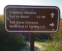
Look for the sign (in the picture at right) near the middle of the western edge of the parking area. You’ll head towards the ocean and first need to cross the Big Sur River on the seasonal bridge provided. If the bridge has been removed for the Steelhead Trout migration, carefully asses whether it is safe to cross through the river to the other side.
(If not, consider trying the Headlands Trail at the north end of the parking lot which will take you a mile or so out towards the beach and across the river at that point.)
After crossing the river, head left (south) along the River Trail until you come to a marked junction. Take the Creamery Trail to the right and follow along the sandy road about a mile until you hit the beach.
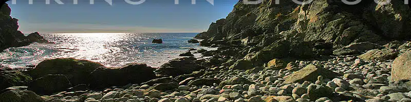
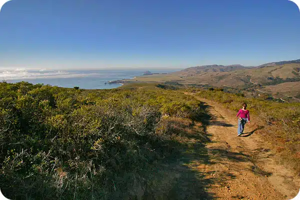
After checking out the beach area, backtrack to pick up the trail and head south towards the junction with the Ridge Trail. Take the Bluffs Trail on the right and follow along the coast as the trail ascends a bit, offering great views north and south. Several spurs along this trail will take you to secluded beaches, and might be worth the trip for this feature alone.
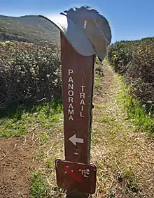
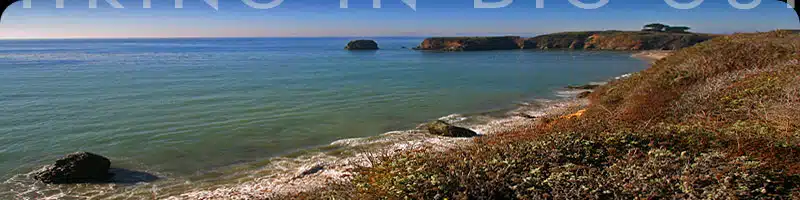
As the Bluffs Trail starts heading inland, it will join up with and become the Panorama Trail, which continues as a series of switchbacks up the side of the sandy hill. All along this stretch are great views of Point Sur and its lighthouse to the north.
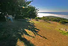
Eventually you’ll reach the top where there is a large wooden bench among some trees. You are now at the Southern edge of the park, and looking south from the bench area, you’ll actually be looking down on several interesting houses and access road.
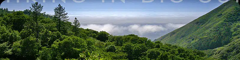
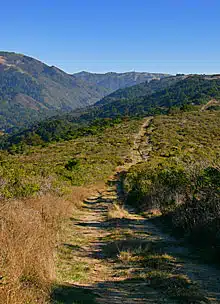
After your rest, look for the trail marker just north of the bench, and head down the Ridge Trail all the way back to the Creamery Meadow Trail. The Ridge Trail is a wide, evenly graded path that could probably fit a small truck in most places. You’ll pass through a few small wooded areas, and then out into open brush where you’ll have views both towards the coast and inland towards the Santa Lucia Mountains.
Once you rejoin the Creamery Trail, retrace your path back to the parking area.
As with most trails in Big Sur, check yourself carefully for ticks after this hike. Though the path is wide open along most of the trail, we’ve regularly picked up ticks here. Also, this is the only place we’ve seen a rattlesnake actually on the trail itself, so always keep an eye out and take precautions.
Alternate Exploring
The Andrew Molera Park features quite a web of trails and side routes, and there are a couple variations of this hike worth exploring.
There are two ways to get out to the start of the Bluffs Trail: the Creamery Meadow Trail, or the Beach Trail which run parallel with each other. For a slightly longer route to the Bluffs Trail, especially if the Big Sur River bridge has been removed and the water looks too high, try the Headlands Trail which runs to the coast north of the river and then crossed back south at the beach. You’ll need to find your way south from here along the shore to the Bluffs Trail.
Another variation is to take the Hidden Trail which branches off the Ridge Trail with a marker on the right. Take the Hidden Trail down to the River Trail and follow it north back to where you crossed Big Sur River and parking area.
Getting There
The trail starts from the parking lot of Andrew Molera State Park, which is 4.5 miles north of the entrance to Pfeiffer Big Sur State Park along Highway 1. The park entrance is about 20 miles south of Carmel.